
Ground penetrating radar was originally invented in the 1920s with the aim of discovering hidden objects underground, although it didn’t take off until the 1970s when the US Military began investigating the use of ground penetrating radar to find mines, buried weapons caches, tunnels, and other strategically important underground structures. However, the demand for technology to map what is underground spread to other industries, most notably archaeology.
Archaeology is an inherently destructive science. To study a site, the site must be destroyed, by digging it up and removing any artifacts that are found. While the destruction is slow, meticulous and carefully documented, it is still destruction, and many objects, along with their context, will inherently be lost or destroyed as the excavation proceeds. Additionally, before ground penetrating radar, archaeologists had no idea where and how to dig, outside of best guesses based on previous excavations. An important second tomb, an unusual outbuilding or other priceless discovery may be left interred merely because the archaeologists didn’t know it was there.
Ground penetrating radar not only ensures that such “second sites” are not missed, but it enables archaeologists to map out their dig sites before they begin. This ensures that large artifacts, such as walls and other structures, are not unintentionally disturbed during the excavation. Indeed, when paired with corroborating maps, even smaller objects can be placed in situ when a subsequent recreation is created. This enables archaeologists to understand better where the artifacts they found were buried, as well as ensure that any recreations and conclusions they develop have a “map” to go on, based on the images created by the radar.
However, the biggest advantage that ground penetrating radar is that it ensures that important archaeological sites are not unintentionally disturbed by construction, excavation, or other projects. Increasingly, important archaeological sites are not being found deliberately by archaeologists seeking them out, but instead accidentally as construction projects unearth them. The problem with this is obvious: construction workers do not know what does or does not constitute an important artifact, nor do they have the ability to determine if they are interfering with a site until it is too late. This results not only in costly delays and bad PR for the construction company, as it must halt work until the site is excavated, but it means that much of the site is permanently lost, as it was disinterred before the archaeologists could investigate.
As such, a quick ground penetrating radar sweep is increasingly common for construction companies, since it not only alerts them to buried hazards such as abandoned septic tanks or caverns, but it ensures that any heretofore undiscovered archaeological finds will not impede the project. If any are found, archaeologists can be contacted and brought in to examine the site in detail, and there will be no expensive delays for machines brought out to the site only to be left idle. Additionally, with a map of the site, the archaeologists know where it is best to dig, thus ensuring they can excavate the site as quickly as possible. This saves time and money for all involved while ensuring no valuable heritage is lost.
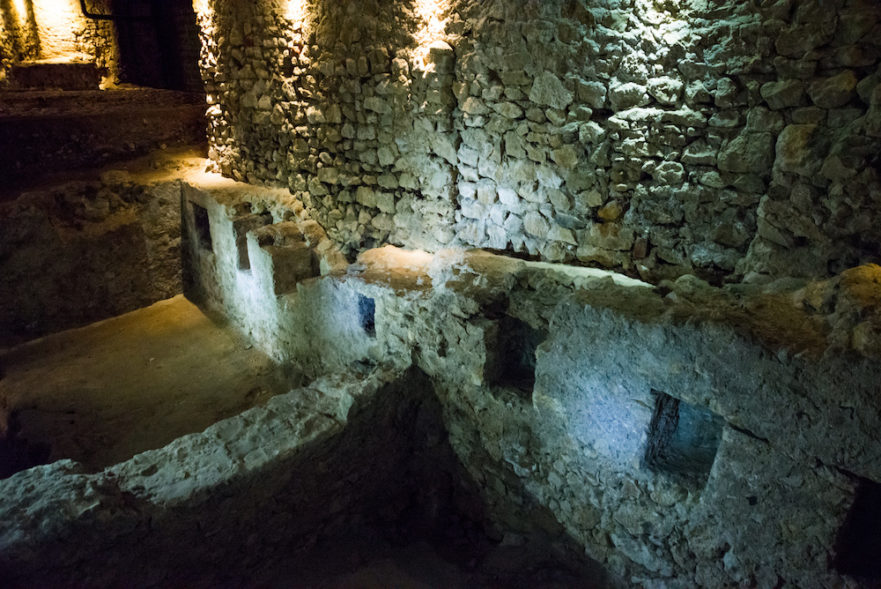
Archaeologists are also using penetrative radar to protect existing sites. Since such radar can easily detect cracks, holes or other damage that puts surfaces at risk, archaeologists are increasingly turning to penetrative radar in their efforts to maintain ancient structures. This is particularly useful when dealing with structures that have components made of mud brick or other dried materials, as is common in the American southwest. These structures can have hidden damage beneath their plaster exteriors caused by water seepage or foundation settlement that, while easily resolved when caught early, can be devastating over time. As such, using penetrative radar to examine the survivability of a structure can not only ensure its longevity, but prevent costly repairs while ensuring it remains intact for future generations to see.